NOTICE: Information listed below may not be current.Airport Ident: MTCH
| Airport Name: CAP HAITIEN INTL, Haiti
Latitude: N1944.0 Longitude: W07211.7
Field Elevation: 10' Variation: W9° as of 01/06
Time Zone: UTC-5
Daylight Savings: N/A
Customs: N/A
|
|
| DISTANCE from: | KTEB to MTCH = 1271 nm
| KMIA to MTCH = 577 nm
| KORD to MTCH = 1555 nm
| KDAL to MTCH = 1537 nm
| KSEA to MTCH = 2937 nm
| KLAX to MTCH = 2593 nm
|
|
| AIRPORT TYPE: | | Active airports having permanent type surface runways with less than the minimum facilities. |
|
Rotating Beacon: NO
|
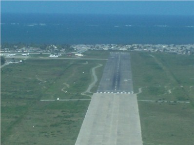
| RUNWAY INFORMATION: | Runway Ident: 23 /05
Runway Length: 4886
Runway Width: 131
Runway Surface: ASPHALT, ASPHALTIC CONCRETE, TAR MACADAM, OR BITUMEN BOUND MACADAM (INCLUDING ANY OF THESE SURFACE TYPES WITH CONCRETE ENDS).
Runway PCN Rating: -
Runway PCN Evaluation Method: N/A
Runway Open: YES
| Runway 23 Information
Runway True Heading: 219°
Takeoff Distance Available: 4886
Landing Distance Available: 4886
Runway Latitude: N1944.3
Runway Longitude: W07211.4
Runway Elevation: 6'
Runway Slope: .1°
Runway TDZE:
Runway Lighting:
| Runway 05 Information
Runway True Heading: 39°
Runway Displaced Threshold: 17.6
Takeoff Distance Available: 4886
Landing Distance Available: 4710
Runway Latitude: N1943.7
Runway Longitude: W07212.0
Runway Elevation: 10'
Runway Slope: -.1°
Runway TDZE: N/A
Runway Lighting:
|
|
|
COMMUNICATION INFORMATION
TOWER - TWR
118.7
|
AIRPORT NAVAIDS
HCN - CAP HAITIEN (VOR) - ON FIELD
HTN - CAP HAITIEN (NDB) - ON FIELD
|