Current Weather/Notams (Metars, TAFs, Notams, NWS Forecast, PIREPS, and nearby weather)
Customs Information Send updates to Support@FltPlan.com
Customs Not Available
Database effective 05/16/2024
Airport Diagram might not be current.
|
| Facility Name: | KANAB MUNI |
| City Name: | KANAB |
| County: | KANE |
| State abbrev: | UT |
| State Name: | UTAH |
| | |
| Ownership: | PUBLICLY OWNED |
| Use: | OPEN TO THE PUBLIC |
| Owner's Name: | CITY OF KANAB |
| Address: | 26 NORTH 100 EAST |
| | KANAB, UT 84741 |
| Owner's Phone: | 435-644-2534 |
| | |
| Manager's Name: | JEFF TURNER |
| Address: | 2378 SOUTH HIGHWAY 89A |
| | KANAB, UT 84741 |
| Phone: | 435-644-2299 |
| | |
| FAA Region: | NORTHWEST MOUNTAIN |
| FAA Field Office: | DEN |
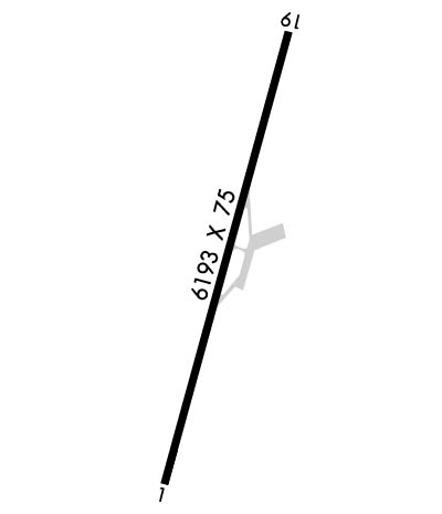
Runway Identifications
Runway Identification: 01/19Length: 6200 ft
Width: 75 ft
Surface: ASPHALT-GOOD CONDITION
Edge lights: Medium IntensityTreatment: NONE
Weight: PCN 22 /F/A/X/U
| | Runway: 01 | | Runway: 19 |
| Mag heading: | 10° | Mag heading: | 190° |
| Rwy Slope: | .72% Up | Rwy Slope: | -.72% Down |
| Approach: | | Approach: | |
| Pattern: | Left Traffic | Pattern: | Left Traffic |
| Markings: | NONPRECISION INSTRUMENT | Markings: | BASIC |
| Marking Condition: | GOOD | Marking Condition: | GOOD |
| Arresting Dev: | | Arresting Dev: | |
| Lat & Long: | N3700.2 W11232.1 | Lat. & Long.: | N3701.1 W11231.7 |
| Elev: | 4822.9 ft. MSL | Elev: | 4867.6 ft. MSL |
| TCH: | 40 ft. AGL | TCH: | |
| Visual Glide Path: | 3.00 degrees | Visual Glide Path: | |
| Displaced Threshold: | No | Displaced Threshold: | No |
| Touchdown Zone: | YES | Touchdown Zone: | YES |
| Touchdown Elev.: | 4841.0 feet | Touchdown Elev.: | 4867.7 feet |
| Visual Glide Slope: | 2-Light PAPI on LEFT side of Runway | Visual Glide Slope: | |
| RVR Equipment: | | RVR Equipment: | |
| RVV Equipment: | NO | RVV Equipment: | NO |
| Approach Lights: | | Approach Lights: | |
| REIL: | YES | REIL: | NO |
| Centerline Lights: | NO | Centerline Lights: | NO |
| Touchdown lights: | NO | Touchdown lights: | NO |
| Runway Category: | Runway with a Non-precision Approach | Runway Category: | Runway with a Visual Approach |
| Declared Distances: | | Declared Distances: | |
| Obstructions: | CONST EQUIP. | Obstructions: | OTHER |
| Marked: | NOT Marked/Lighted | Marked: | NOT Marked/Lighted |
| Clearance slope: | 34:1 | Clearance slope: | 12:1 |
| Obstruction height: | | Obstruction height: | 15 feet AGL |
| Dist. from runway: | | Dist. from runway: | 383 feet |
| Centerline offset: | | Centerline offset: | 208 feet right of centerline |
| Comments: | | Comments: | |

