Current Weather/Notams (Metars, TAFs, Notams, NWS Forecast, PIREPS, and nearby weather)
Customs Information Send updates to Support@FltPlan.com
Customs Not Available
Database effective 04/18/2024
Airport Diagram might not be current.
|
| Facility Name: | FOX STEPHENS FLD / GILMER MUNI |
| City Name: | GILMER |
| County: | UPSHUR |
| State abbrev: | TX |
| State Name: | TEXAS |
| | |
| Ownership: | PUBLICLY OWNED |
| Use: | OPEN TO THE PUBLIC |
| Owner's Name: | CITY OF GILMER |
| Address: | PO BOX 760 |
| | GILMER, TX 75644 |
| Owner's Phone: | 903-843-2552 |
| | |
| Manager's Name: | GREG HUTSON; GREG HUDSON, CITY MGR, 903-843-2552. |
| Address: | PO BOX 760 |
| | GILMER, TX 75644 |
| Phone: | 903-843-2552 |
| | |
| FAA Region: | SOUTHWEST |
| FAA Field Office: | TEX |
Runway Identifications
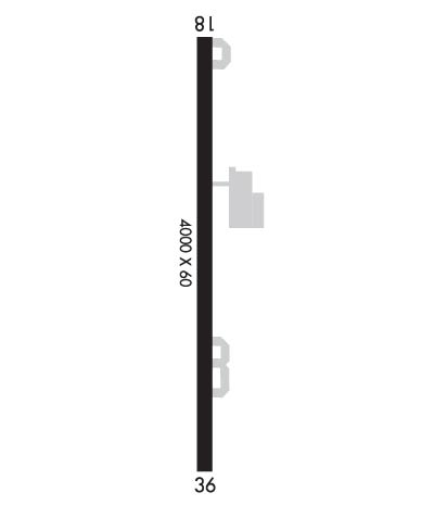
Runway Identification: 18/36Length: 3998 ft
Width: 60 ft
Surface: ASPHALT-GOOD CONDITION
Edge lights: Medium IntensityTreatment: NONE
| | Runway: 18 | | Runway: 36 |
| Mag heading: | 177° | Mag heading: | 357° |
| Rwy Slope: | -.06% Down | Rwy Slope: | .06% Up |
| Approach: | | Approach: | |
| Pattern: | Left Traffic | Pattern: | Left Traffic |
| Markings: | NONPRECISION INSTRUMENT | Markings: | NONPRECISION INSTRUMENT |
| Marking Condition: | GOOD | Marking Condition: | GOOD |
| Arresting Dev: | | Arresting Dev: | |
| Lat & Long: | N3242.2 W09456.9 | Lat. & Long.: | N3241.6 W09456.9 |
| Elev: | 415.1 ft. MSL | Elev: | 412.6 ft. MSL |
| TCH: | 32 ft. AGL | TCH: | |
| Visual Glide Path: | 3.75 degrees | Visual Glide Path: | |
| Displaced Threshold: | No | Displaced Threshold: | No |
| Touchdown Zone: | YES | Touchdown Zone: | YES |
| Touchdown Elev.: | 415.4 feet | Touchdown Elev.: | 412.6 feet |
| Visual Glide Slope: | 2-Light PAPI on LEFT side of Runway | Visual Glide Slope: | |
| RVR Equipment: | | RVR Equipment: | |
| RVV Equipment: | NO | RVV Equipment: | NO |
| Approach Lights: | | Approach Lights: | |
| REIL: | NO | REIL: | NO |
| Centerline Lights: | NO | Centerline Lights: | NO |
| Touchdown lights: | NO | Touchdown lights: | NO |
| Runway Category: | Runway with a Non-precision Approach | Runway Category: | Runway with a Non-precision Approach |
| Declared Distances: | | Declared Distances: | |
| Obstructions: | PLINE | Obstructions: | TREES |
| Marked: | MARKED and LIGHTED | Marked: | NOT Marked/Lighted |
| Clearance slope: | 19:1 | Clearance slope: | |
| Obstruction height: | 36 feet AGL | Obstruction height: | 50 feet AGL |
| Dist. from runway: | 900 feet | Dist. from runway: | 200 feet |
| Centerline offset: | | Centerline offset: | 159 feet left of centerline |
| Comments: | 50 FT TREES , 0-199 FT DSTC, 145 FT L | Comments: | 50 FT TREES, 0-199 FT DSTC, 160 FT L. |

