Current Weather/Notams (Metars, TAFs, Notams, NWS Forecast, PIREPS, and nearby weather)
Customs Information Send updates to Support@FltPlan.com
Customs Not Available
Database effective 05/16/2024
Airport Diagram might not be current.
|
| Facility Name: | TWIN COUNTY |
| City Name: | GALAX HILLSVILLE |
| County: | CARROLL |
| State abbrev: | VA |
| State Name: | VIRGINIA |
| | |
| Ownership: | PUBLICLY OWNED |
| Use: | OPEN TO THE PUBLIC |
| Owner's Name: | TWIN COUNTY ARPT COMSN |
| Address: | 504 HANGAR RD. |
| | HILLSVILLE, VA 24343-5264 |
| Owner's Phone: | 276-728-4504; FAX 276-728-4544. |
| | |
| Manager's Name: | MICHAEL LAWSON |
| Address: | 504 HANGAR RD. |
| | HILLSVILLE, VA 24343-5264 |
| Phone: | 276-728-4504 |
| | |
| FAA Region: | EASTERN |
| FAA Field Office: | DCA |
Runway Identifications
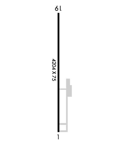
Runway Identification: 01/19Length: 4204 ft
Width: 75 ft
Surface: ASPHALT-FAIR CONDITION
Edge lights: Medium IntensityTreatment: NONE
| | Runway: 01 | | Runway: 19 |
| Mag heading: | 7° | Mag heading: | 187° |
| Rwy Slope: | -1.23% Down | Rwy Slope: | 1.23% Up |
| Approach: | | Approach: | |
| Pattern: | Left Traffic | Pattern: | Left Traffic |
| Markings: | NONPRECISION INSTRUMENT | Markings: | NONPRECISION INSTRUMENT |
| Marking Condition: | GOOD | Marking Condition: | GOOD; RY MARKING CONDITIONS VARY BTWN GOOD & FAIR. RY DISPLACEMENT MARKING INCORRECT |
| Arresting Dev: | | Arresting Dev: | |
| Lat & Long: | N3645.6 W08049.4 | Lat. & Long.: | N3646.3 W08049.4 |
| Elev: | 2693.5 ft. MSL | Elev: | 2642.0 ft. MSL |
| TCH: | 21 ft. AGL | TCH: | |
| Visual Glide Path: | 3.00 degrees | Visual Glide Path: | |
| Displaced Threshold: | No | Displaced Threshold: | 50 feet |
| Touchdown Zone: | YES | Touchdown Zone: | YES |
| Touchdown Elev.: | 2693.6 feet | Touchdown Elev.: | 2687.0 feet |
| Visual Glide Slope: | 2-Light PAPI on LEFT side of Runway | Visual Glide Slope: | |
| RVR Equipment: | | RVR Equipment: | |
| RVV Equipment: | NO | RVV Equipment: | NO |
| Approach Lights: | | Approach Lights: | |
| REIL: | YES | REIL: | YES |
| Centerline Lights: | NO | Centerline Lights: | NO |
| Touchdown lights: | NO | Touchdown lights: | NO |
| Runway Category: | Runway with a Non-precision Approach | Runway Category: | Runway with a Non-precision Approach |
| Declared Distances: | | Declared Distances: | |
| Obstructions: | TREES; RY 01 HAS 10-20 FT HILL LCTD 150 FT WEST OF RY 01, BEGINS NORTH OF THLD. | Obstructions: | TREES |
| Marked: | NOT Marked/Lighted | Marked: | NOT Marked/Lighted |
| Clearance slope: | 19:1 | Clearance slope: | 19:1 |
| Obstruction height: | 41 feet AGL | Obstruction height: | 54 feet AGL |
| Dist. from runway: | 985 feet | Dist. from runway: | 1237 feet |
| Centerline offset: | 355 left of centerline | Centerline offset: | 63 feet right of centerline |
| Comments: | | Comments: | |

