Approach Charts
| FltPlan does not have IFR approach charts available for K9Y2. |
Current Weather/Notams (Metars, TAFs, Notams, NWS Forecast, PIREPS, and nearby weather)
Customs Information Send updates to Support@FltPlan.com
Customs Not Available
Database effective 04/18/2024
Airport Diagram might not be current.
|
| Facility Name: | EAST GULL LAKE |
| City Name: | EAST GULL LAKE |
| County: | CASS |
| State abbrev: | MN |
| State Name: | MINNESOTA |
| | |
| Ownership: | PUBLICLY OWNED |
| Use: | OPEN TO THE PUBLIC |
| Owner's Name: | CITY OF EAST GULL LAKE |
| Address: | 10790 GULL POINT RD |
| | EAST GULL LAKE, MN 56401-3088 |
| Owner's Phone: | 218-828-9279 |
| | |
| Manager's Name: | LAURA CHRISTENSEN |
| Address: | 10790 GULL POINT RD |
| | EAST GULL LAKE, MN 56401-3088 |
| Phone: | 218-828-9279 |
| | |
| FAA Region: | GREAT LAKES |
| FAA Field Office: | DMA |
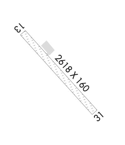
Runway Identifications
Runway Identification: 13/31Length: 2618 ft
Width: 160 ft
Surface: GRASS-FAIR CONDITION
Edge lights: Treatment: NONE
| | Runway: 13 | | Runway: 31 |
| Mag heading: | N/A | Mag heading: | N/A |
| Rwy Slope: | .00% | Rwy Slope: | .00% |
| Approach: | | Approach: | |
| Pattern: | Left Traffic | Pattern: | Left Traffic |
| Markings: | | Markings: | |
| Marking Condition: | YELLOW CONES. | Marking Condition: | YELLOW CONES. |
| Arresting Dev: | | Arresting Dev: | |
| Lat & Long: | N4623.2 W09422.6 | Lat. & Long.: | N4622.9 W09422.2 |
| Elev: | 1230.0 ft. MSL | Elev: | 1230.0 ft. MSL |
| TCH: | | TCH: | |
| Visual Glide Path: | | Visual Glide Path: | |
| Displaced Threshold: | No | Displaced Threshold: | No |
| Touchdown Zone: | NO | Touchdown Zone: | NO |
| Touchdown Elev.: | | Touchdown Elev.: | |
| Visual Glide Slope: | | Visual Glide Slope: | |
| RVR Equipment: | | RVR Equipment: | |
| RVV Equipment: | NO | RVV Equipment: | NO |
| Approach Lights: | | Approach Lights: | |
| REIL: | NO | REIL: | NO |
| Centerline Lights: | NO | Centerline Lights: | NO |
| Touchdown lights: | NO | Touchdown lights: | NO |
| Runway Category: | Runway with a Visual Approach | Runway Category: | Runway with a Visual Approach |
| Declared Distances: | | Declared Distances: | |
| Obstructions: | TREE | Obstructions: | TREES |
| Marked: | NOT Marked/Lighted | Marked: | NOT Marked/Lighted |
| Clearance slope: | 15:1 | Clearance slope: | 6:1 |
| Obstruction height: | 65 feet AGL | Obstruction height: | 16 feet AGL |
| Dist. from runway: | 1013 feet | Dist. from runway: | 102 feet |
| Centerline offset: | 216 right of centerline | Centerline offset: | 109 feet left of centerline |
| Comments: | | Comments: | |

