Approach Charts
| FltPlan does not have IFR approach charts available for K0M9. |
Current Weather/Notams (Metars, TAFs, Notams, NWS Forecast, PIREPS, and nearby weather)
Customs Information Send updates to Support@FltPlan.com
Customs Not Available
Database effective 05/16/2024
Airport Diagram might not be current.
|
| Facility Name: | DELHI MUNI |
| City Name: | DELHI |
| County: | RICHLAND |
| State abbrev: | LA |
| State Name: | LOUISIANA |
| | |
| Ownership: | PUBLICLY OWNED |
| Use: | OPEN TO THE PUBLIC |
| Owner's Name: | TOWN OF DELHI |
| Address: | PO BOX 277 |
| | DELHI, LA 71232 |
| Owner's Phone: | 318-878-3792 |
| | |
| Manager's Name: | LOUIS MARTIN |
| Address: | 86 AIRPORT RD |
| | DELHI, LA 71232 |
| Phone: | (318) 614-9210 |
| | |
| FAA Region: | SOUTHWEST |
| FAA Field Office: | LNM |
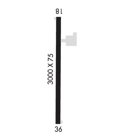
Runway Identifications
Runway Identification: 18/36Length: 3000 ft
Width: 75 ft
Surface: ASPHALT-GOOD CONDITION
Edge lights: Medium IntensityTreatment: NONE
| | Runway: 18 | | Runway: 36 |
| Mag heading: | 175° | Mag heading: | 355° |
| Approach: | | Approach: | |
| Pattern: | Left Traffic | Pattern: | Left Traffic |
| Markings: | BASIC | Markings: | BASIC |
| Marking Condition: | GOOD | Marking Condition: | GOOD |
| Arresting Dev: | | Arresting Dev: | |
| Lat & Long: | N3224.9 W09129.9 | Lat. & Long.: | N3224.4 W09129.9 |
| Elev: | N/A | Elev: | N/A |
| TCH: | | TCH: | |
| Visual Glide Path: | | Visual Glide Path: | |
| Displaced Threshold: | No | Displaced Threshold: | No |
| Touchdown Zone: | NO | Touchdown Zone: | NO |
| Touchdown Elev.: | | Touchdown Elev.: | |
| Visual Glide Slope: | | Visual Glide Slope: | |
| RVR Equipment: | | RVR Equipment: | |
| RVV Equipment: | NO | RVV Equipment: | NO |
| Approach Lights: | | Approach Lights: | |
| REIL: | YES | REIL: | YES |
| Centerline Lights: | NO | Centerline Lights: | NO |
| Touchdown lights: | NO | Touchdown lights: | NO |
| Runway Category: | Runway with a Visual Approach | Runway Category: | Runway with a Visual Approach |
| Declared Distances: | | Declared Distances: | |
| Obstructions: | TREES | Obstructions: | ROAD |
| Marked: | NOT Marked/Lighted | Marked: | NOT Marked/Lighted |
| Clearance slope: | 10:1 | Clearance slope: | 10:1; APCH SLOPE 20:1 TO DSPLCD THLD. |
| Obstruction height: | 29 feet AGL | Obstruction height: | 15 feet AGL |
| Dist. from runway: | 502 feet | Dist. from runway: | 345 feet |
| Centerline offset: | 141 left of centerline | Centerline offset: | |
| Comments: | 34 FT TREES 113 FT RIGHT OF CNTRLN 246 FT FM END OF RY; 28 FT TREES 124 FT LEFT OF CNTRLN 143 FT FM END OF RY. | Comments: | 16 FT TREES 123 FT RIGHT OF CNTRLN 221 FT FM END OF RY. |

