Current Weather/Notams (Metars, TAFs, Notams, NWS Forecast, PIREPS, and nearby weather)
Customs Information Send updates to Support@FltPlan.com
Customs Not Available
Database effective 04/18/2024
Airport Diagram might not be current.
|
| Facility Name: | BUTLER/CHOCTAW COUNTY |
| City Name: | BUTLER |
| County: | CHOCTAW |
| State abbrev: | AL |
| State Name: | ALABAMA |
| | |
| Ownership: | PUBLICLY OWNED |
| Use: | OPEN TO THE PUBLIC |
| Owner's Name: | CHOCTAW COUNTY |
| Address: | 117 SOUTH MULBERRY/SUITE 9 |
| | BUTLER, AL 36904 |
| Owner's Phone: | 205-459-2100 |
| | |
| Manager's Name: | TYLER DAVIDSON |
| Address: | 117 SOUTH MULBERRY, SUITE 12 |
| | BUTLER, AL 36904 |
| Phone: | (205) 459-2153 |
| | |
| FAA Region: | SOUTHERN |
| FAA Field Office: | JAN |
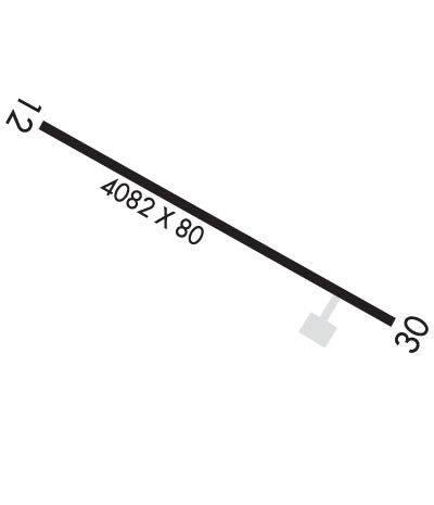
Runway Identifications
Runway Identification: 12/30Length: 4082 ft
Width: 80 ft
Surface: ASPHALT-POOR CONDITION
Edge lights: Medium IntensityTreatment: NONE
| | Runway: 12 | | Runway: 30 |
| Mag heading: | 119° | Mag heading: | 299° |
| Rwy Slope: | .43% Up | Rwy Slope: | -.43% Down |
| Approach: | | Approach: | |
| Pattern: | Left Traffic | Pattern: | Left Traffic |
| Markings: | NONE | Markings: | NONE |
| Marking Condition: | POOR; MARKINGS COMPLETELY FADED | Marking Condition: | POOR; MARKINGS COMPLETELY FADED. |
| Arresting Dev: | | Arresting Dev: | |
| Lat & Long: | N3207.3 W08808.0 | Lat. & Long.: | N3207.0 W08807.3 |
| Elev: | 116.3 ft. MSL | Elev: | 133.7 ft. MSL |
| TCH: | 40 ft. AGL | TCH: | 40 ft. AGL |
| Visual Glide Path: | 3.00 degrees | Visual Glide Path: | 3.00 degrees |
| Displaced Threshold: | 169 feet | Displaced Threshold: | 444 feet |
| Touchdown Zone: | YES | Touchdown Zone: | YES |
| Touchdown Elev.: | 126.9 feet | Touchdown Elev.: | 129.7 feet |
| Visual Glide Slope: | 2-Light PAPI on LEFT side of Runway; PAPI UNUSBL BYD 8 DEGS LEFT OF CNTRLN. | Visual Glide Slope: | 2-Light PAPI on LEFT side of Runway; PAPI RWY 30 OTS INDEFLY. |
| RVR Equipment: | | RVR Equipment: | |
| RVV Equipment: | NO | RVV Equipment: | NO |
| Approach Lights: | | Approach Lights: | |
| REIL: | NO | REIL: | NO |
| Centerline Lights: | NO | Centerline Lights: | NO |
| Touchdown lights: | NO | Touchdown lights: | NO |
| Runway Category: | Runway with a Non-precision Approach | Runway Category: | Runway with a Non-precision Approach |
| Declared Distances: | | Declared Distances: | |
| Obstructions: | TREES | Obstructions: | TREES |
| Marked: | NOT Marked/Lighted | Marked: | NOT Marked/Lighted |
| Clearance slope: | 12:1 | Clearance slope: | 6:1 |
| Obstruction height: | 143 feet AGL | Obstruction height: | 112 feet AGL |
| Dist. from runway: | 2037 feet | Dist. from runway: | 884 feet |
| Centerline offset: | 145 right of centerline | Centerline offset: | 332 feet right of centerline |
| Comments: | TREES LCTD 31 FT FROM PAVEMENT END BEGINNING AT 125 FT RIGHT OF CL AND CONTG ACRS TO 125 FT LEFT OF CL. 8:1 SLOPE FROM DSPLCD THR. | Comments: | |

