Airport & FBO Info for K2K0/2K0 PIATT COUNTY (CLOSED) MONTICELLO IL
Main Menu
New Airport ID
Search
Find by Airport or City Name
Search
K2K0
Airport Comments
Comments
Hotels/Rental Cars at K2K0
Hotels/Car Rentals
PIATT COUNTY (CLOSED) MONTICELLO IL
Time Zone:
Central
Lat:
N 4000.3
Long:
W 08833.5
Elev:
740
Var:
-00
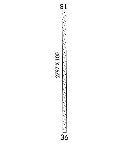
Longest Runway:
2797
CTAF: 122.9
FBO & Flight Services info for K2K0
FBOs: Update your Fuel Prices
AIRPORT (CLOSED)
Ph: 217-762-9607
-
-
If you are an FBO, call 1-203-262-8900 to update your info or email:
Support@FltPlan.com
Advertise your FBO on FltPlan.com
Airport Diagram might not be current.
K2K0 Expanded Airport Information was not found.
C:/P:
Thanks for using FltPlan.com
all rights reserved © 1999-2019 by Flight Plan LLC